
 Haoru UWB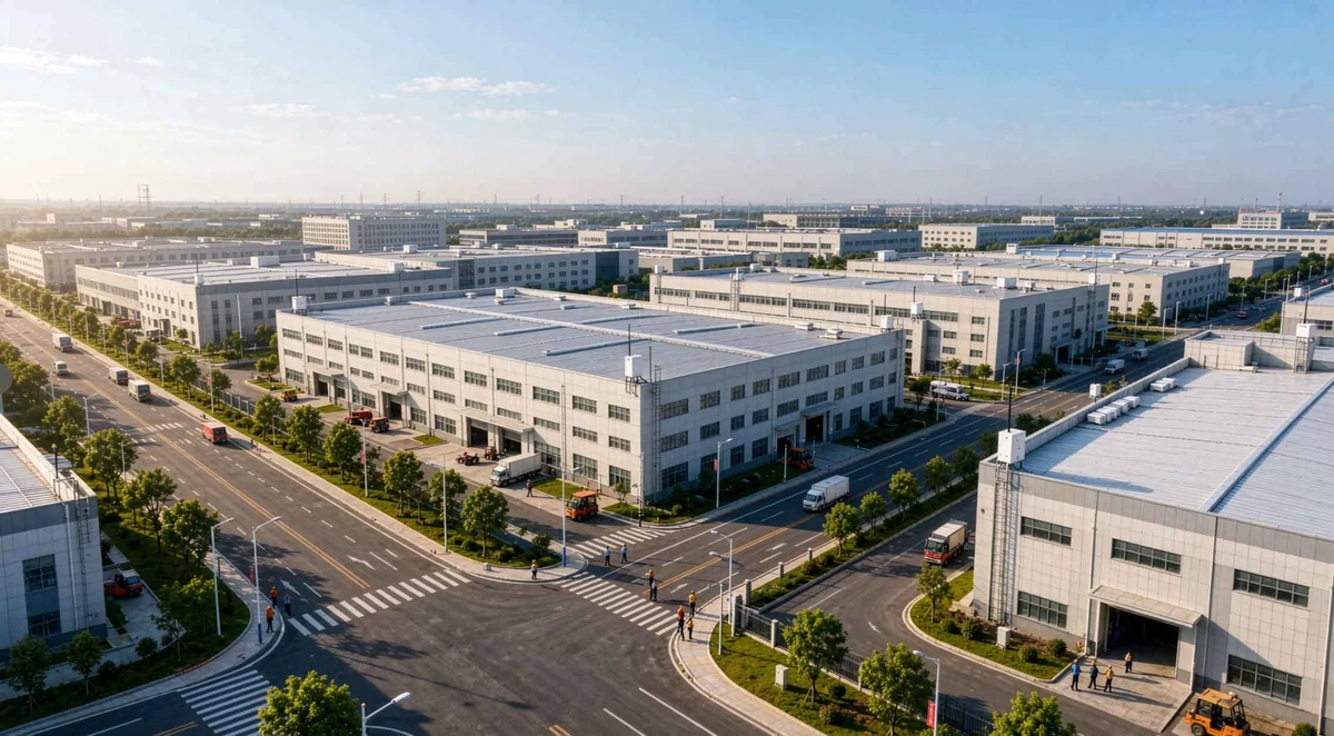
Project requirements
The described park includes chemical, manufacturing and logistics businesses across a large site. The main challenges are personnel visibility, locating people in emergencies around hazardous areas, and tracing visitors who enter restricted zones.
Solution
The project combines UWB positioning with a GIS interface for park-wide personnel management.
Anchors cover entrances, road junctions, factories and hazardous-area boundaries. Staff use badge or helmet tags, and visitors receive temporary tags linked to their identities.
The platform integrates live positions, geofences, SOS, history replay and attendance statistics, with interfaces to video, access gates and emergency announcements.
Unauthorized entry can generate alarms and notify managers. A tag's SOS button reports its location to the emergency workflow.
The case description reports outcomes in safety, emergency response and visitor management:
Safety ManagementUnauthorized hazard entry reportedly decreased by approximately 85%, from over twenty events per month to fewer than three. The system records monitored violations for later investigation.
Emergency ResponseReported event-location time decreased from over ten minutes to under one minute, approximately 90%. Drill evacuation counts reportedly took approximately 70% less time, from fifteen minutes to under five minutes.
Visitor ManagementThe case reports no visitor entries into prohibited zones during the reported period, complete trajectory traceability and approximately 60% faster check-in, from five minutes per person to under two minutes.