
 Haoru UWB
Solution
Abstract
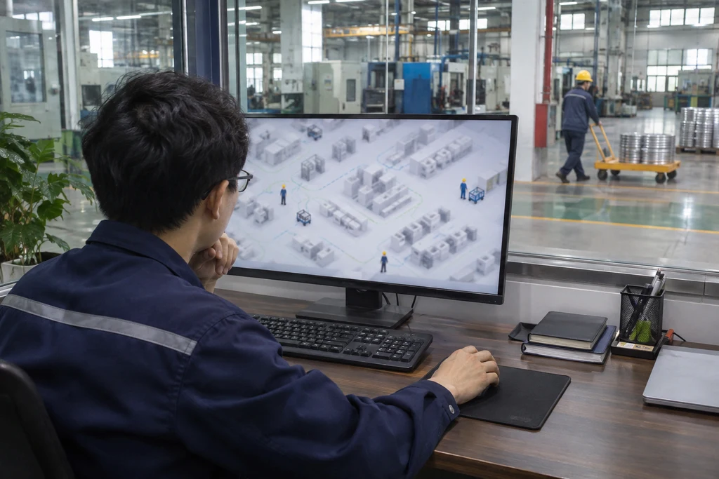
For factory digital twin construction, Haoru Technology builds a location data foundation with UWB positioning, feeding real-time personnel and asset locations and movement lines into the digital twin platform. The twin model then reflects people and objects on site in real time, supporting operations analysis, safety management and process optimization with spatial data.
1. Background
More and more factories are building digital twin platforms, hoping to use virtual models to reflect the status of people, equipment and materials on site in real time. However, traditional digital twins mainly rely on equipment operating data, and there is no way to collect the locations of personnel and mobile assets, so people and objects in the twin model are mostly static or lagging, making it hard to support movement analysis and safety warnings.
2. Project Challenges
First, missing location data. There is no real-time way to collect the locations of personnel and mobile assets, so the digital twin model cannot reflect people and objects moving on site.
Second, complex data integration. UWB positioning data needs to be connected to the coordinate system, models and business systems of the digital twin platform, requiring interfaces and protocols to be opened up.
Third, difficult movement analysis. Without continuous location data, personnel movement lines, material flow and area dwell time are hard to quantify, leaving process optimization without a basis.
3. Haoru Technology's Solution
Haoru Technology builds a factory location data foundation with UWB positioning, deploying base stations in workshops, warehouses and corridors and equipping personnel and assets with tags to output locations and trajectories in real time. The system feeds location data into the digital twin platform through standard interfaces, mapping on-site coordinates to the corresponding areas of the twin model, so the model reflects personnel locations, material flow and equipment status in real time. Based on location data, the platform performs movement analysis, area dwell statistics and anomaly warnings, providing a basis for process optimization.
4. How It Works
Positioning tags output the real-time coordinates of personnel and assets, and the host software forwards coordinates, trajectories and area information to the digital twin platform through interfaces. The platform maps on-site coordinates to the twin model and updates the virtual locations of personnel and assets in real time. Based on continuous location data, the platform performs movement analysis, dwell statistics and area heat analysis, and feeds anomalies back to managers.
5. Solution Advantages
First, bringing the twin model to life. Personnel and asset locations are fed in real time, so the twin model truly reflects people and objects on site.
Second, data connectivity. Coordinate mapping and data integration are completed through standard interfaces, making location data a basic data source for the twin platform.
Third, analysis support. Continuous location data supports movement analysis, dwell statistics and process optimization, moving the digital twin from something that can be seen to something that can be used.
6. Results
The real-time collection coverage of personnel and asset locations rose to 90%, with on-site people and objects mapped in real time by the system.
The efficiency of personnel movement and area dwell analysis increased by 50%, with location data collected automatically instead of manual statistics.
The time for process optimization and anomaly discovery based on location data shortened by 40%, letting twin data support actual decisions.